

3D laser scanning: the easiest and most reliable way to prepare detailed 3D representations of the physical environment.
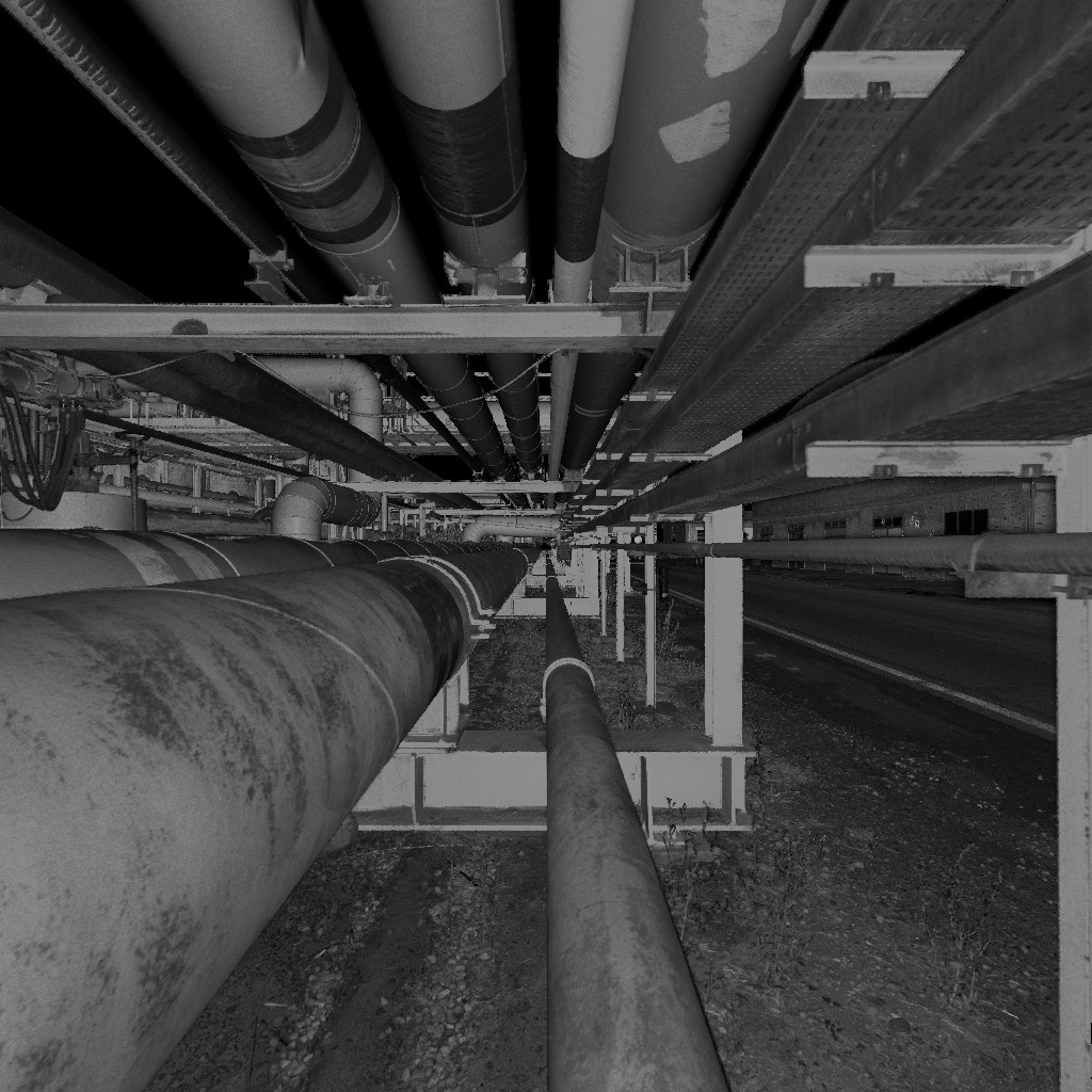
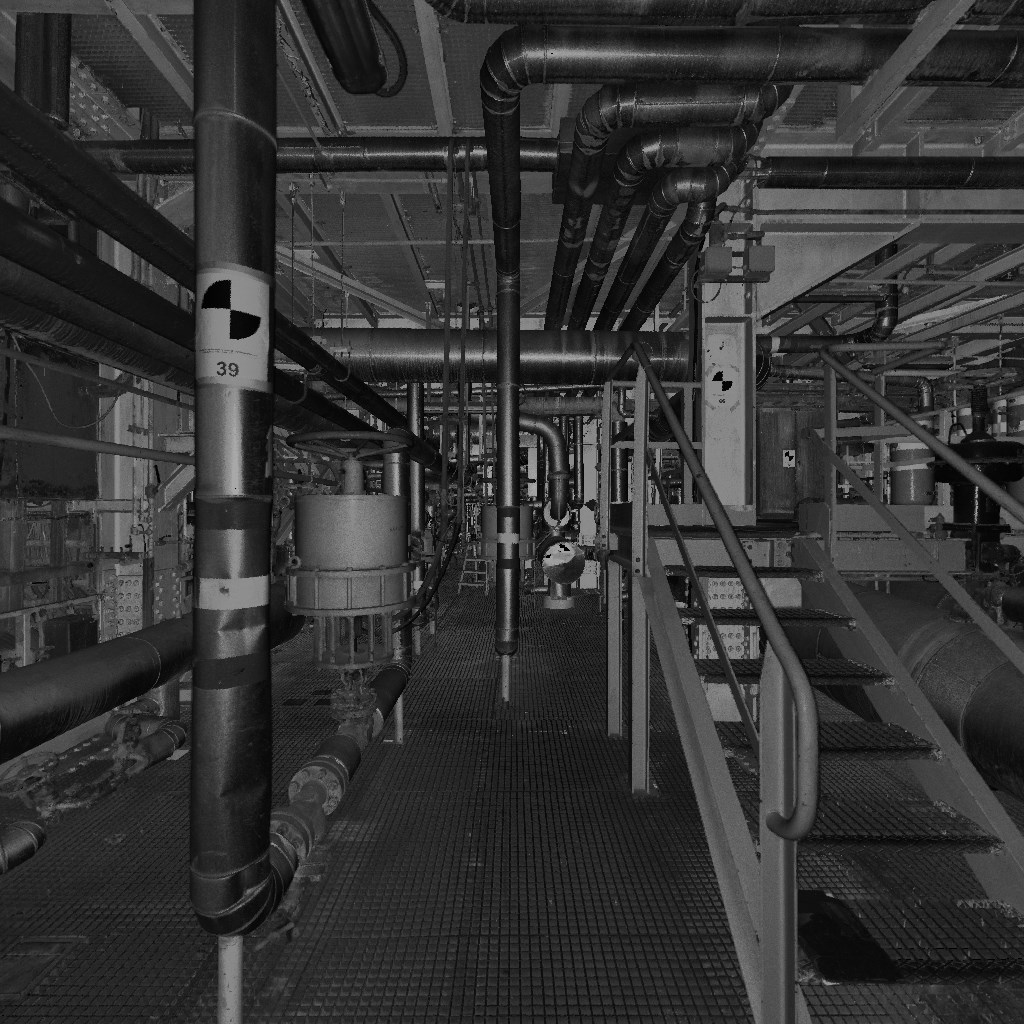
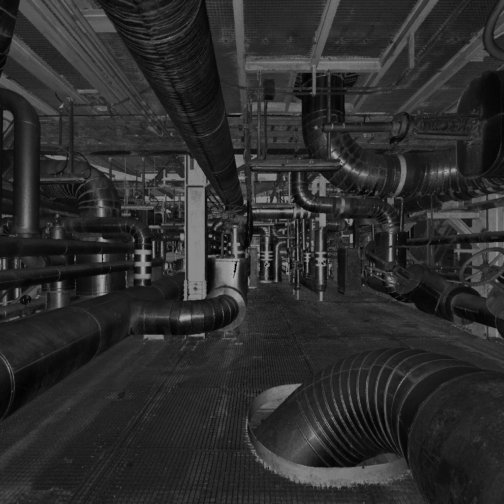
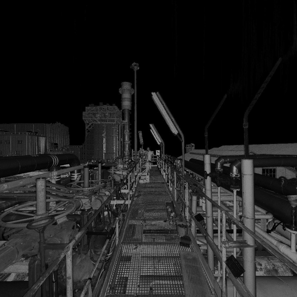
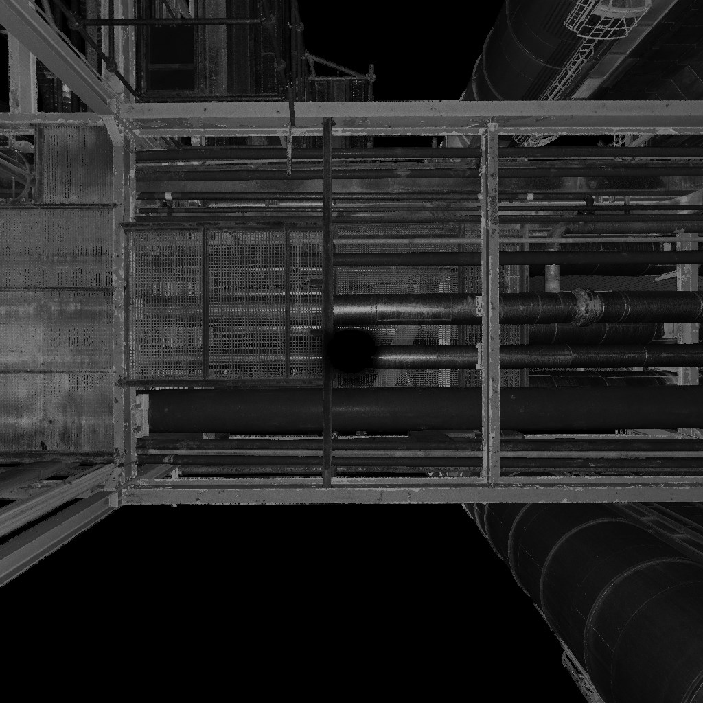
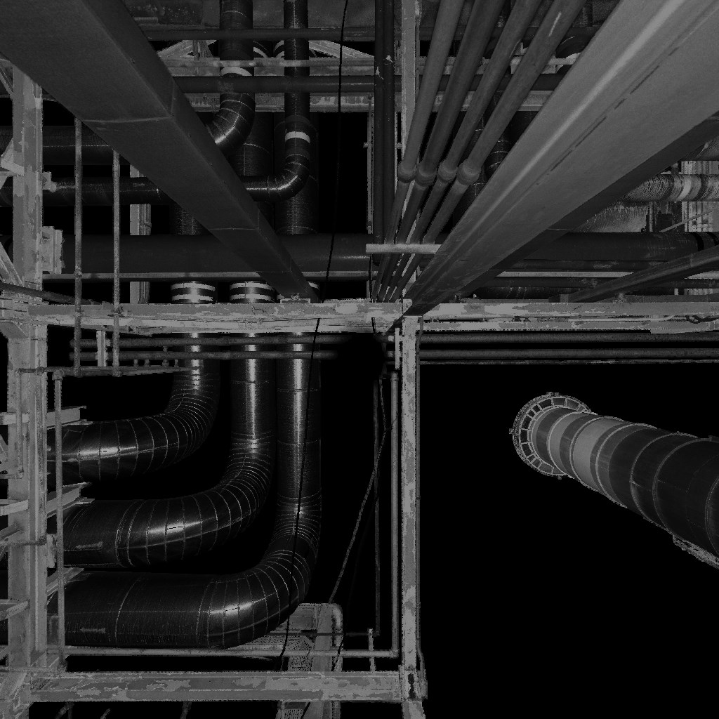
Laser scanning technology works through a laser scanner which emits laser beams in rapid succession by capturing the points that reflect in 3D space. By using multiple points of view can be sampled complete 3D models of objects of all sizes such as buildings, processes or plants, offshore installations or ships.
The data obtained allow precise measurements between any selected point of the scanned object. It is also possible, if desired, include color information. The very high quality data obtained can be used even in their most "rough version", as a point cloud, that in a realistic intuitive mode.
Once captured, the 3D data can be used for different purposes such as inspections of sites for the project planning, support activities or for the creation of intelligent 3D models from as-built installations.

3D laser scanners allow the user to capture approximately one million points per second.
The scanning process is quick, safe and non-invasive, being therefore ideal to perform measurements on demanding and dangerous objects such as offshore platforms. It exceeds alternative methods for ease of use, accuracy, and amount of data generated.
With the use of this powerful technology, the operator spends much less time on site recording constructive information, reducing dramatically the time and project costs. The step of drawing and the construction phase can be reduced respectively by 80% and 20%.
Providing the designer with the detailed situation of the plant "as-built", 3D laser scanning limits the project risks and reduces the reworking of the drawings, so the costs. Laser scanning based installation has reduced the overall cost of "brownfield" projects of 5-7% and the amount of rework to less than 2% compared to traditional survey methods.
Outside environment EPC ownership operators recognize themselves the benefits of 3D laser scanning. It facilitates the formalities regarding the safety, allows the acquisition of remote data, and reduces the work required at high altitude. The rapid acquisition of the data reduces the amount of time spent and the number of people exposed in hazardous environments.
The data acquisition benefits continue over time becoming a key element for plant management strategy. The data represent an integral part of management resources and the downstream work process. It facilitates communication and collaboration between the involved professionals such as architects, engineers, builders and owners.

© 2016 Tecnocadservice.com | All rights reserved. Other company names and product names appearing in this site are the registered trademarks or trademarks of their respective companies.
Tecno Cad Service Engineering S.n.c. - Via Del Polo Tecnologico, 10 - 57023 Cecina (LI) Italy - tel: 0586 630128 fax: 0586 632761 - VAT 01139810491